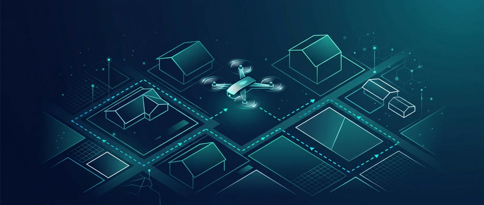







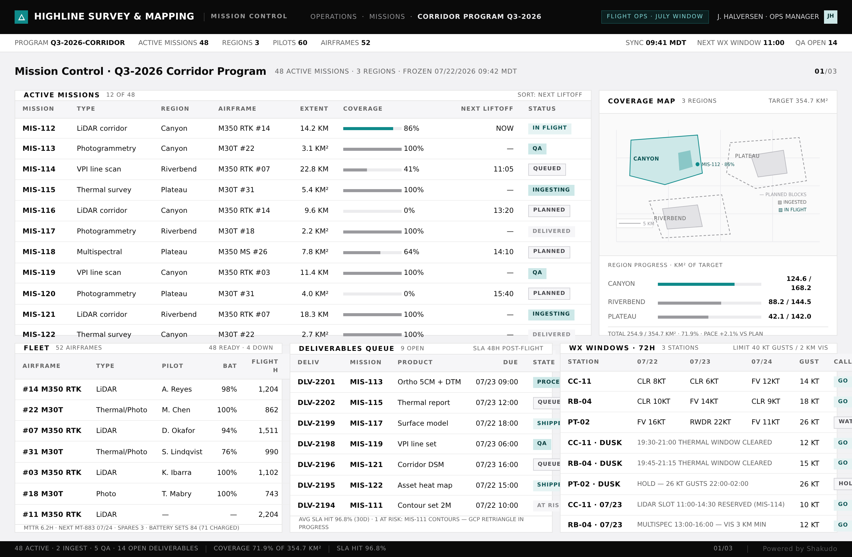
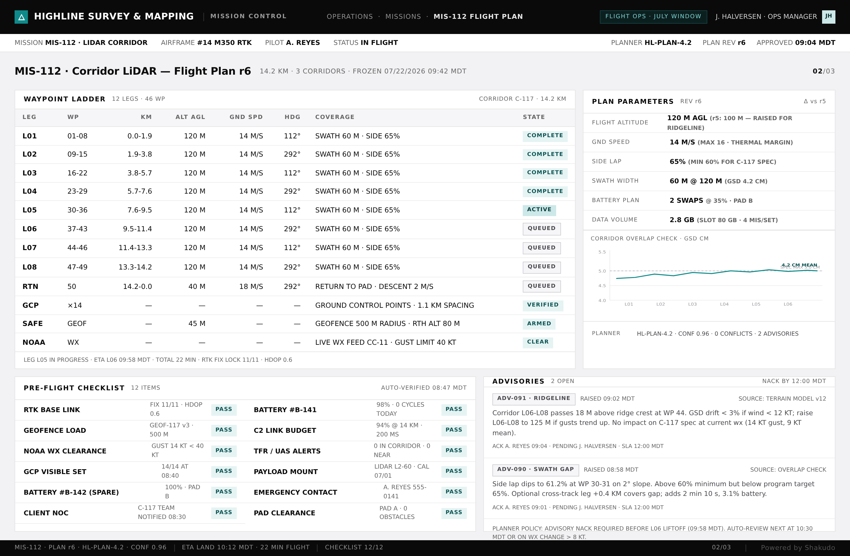
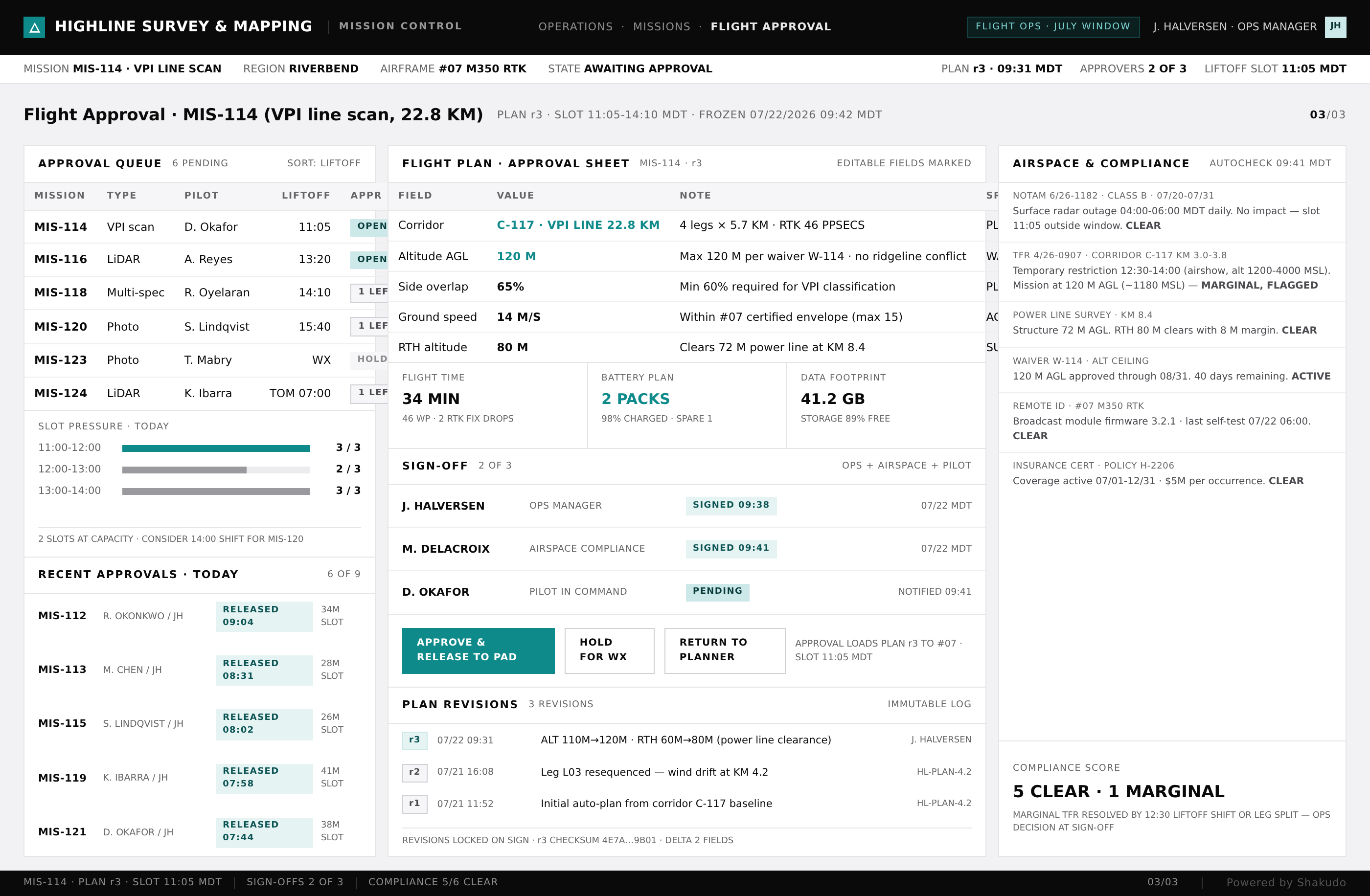
Three screens from a live run: the mission queue, the flight plan, and the dispatch approval.
1–2 / 3
Roofing businesses lose hours each week to manual drone mission planning. Pilots plot flight paths by hand, verify airspace restrictions, and compile inspection data into reports that take days to finalize. With 67% of drone operations still handled manually, field teams spend more time on paperwork than on actual inspections. The global drone market is projected to reach $41 billion by 2026, yet most roofing companies still rely on fragmented tools and manual processes.
Commercial drone operators must hold an FAA Part 107 remote pilot certificate and comply with strict airspace regulations. Every mission requires checking controlled airspace, setting no-fly zone buffers, and planning flight parameters like altitude, overlap percentage, and grid patterns. A single roof inspection might need 75% photo overlap at 80 feet above ground level with terrain-following adjustments for slope variations.
Manual planning typically takes 30 to 60 minutes per site. Multiply that across a week of inspections and field engineers lose entire days to preparation. After the flight, the work continues: reviewing hundreds of photos, identifying damage, and writing inspection reports that clients expect within 48 hours. Field engineers often juggle three to five active job sites, making manual coordination a bottleneck that delays deliverables and frustrates clients.
The pipeline automates the full planning and reporting cycle. It pulls FAA LAANC data, identifies controlled airspace boundaries, and generates compliant flight plans in under 30 seconds, so an engineer draws the inspection area on a map and the platform produces a terrain-aware grid pattern ready for export to the drone controller. For roof inspections it configures photogrammetry settings automatically: the correct gimbal angle, flight speed, and photo interval based on roof geometry, with terrain-following mode that adjusts altitude for multi-level roofs without manual waypoints.
After the flight, computer vision models process the captured imagery and detect missing shingles, hail damage, water pooling, and flashing failures. The system compiles findings into a structured inspection report with annotated photos, GPS coordinates, and severity ratings. What used to take a field engineer two hours per report now takes minutes.
Mission planning does not exist in isolation. A roofing business runs on coordination between drone pilots, field engineers, project managers, and clients, and the workflow connects these roles and eliminates the manual handoffs. When a new inspection request comes in, the system assigns the job to the nearest qualified pilot and generates a preliminary flight plan based on the property address. Field engineers receive a mobile notification with the mission package: airspace status, flight plan, property boundaries, and any historical inspection data on file.
After the drone lands, captured imagery syncs to a central dashboard where engineers review AI-flagged issues before the report goes out. Integration with scheduling tools means the next available inspection slot updates automatically when a flight completes early or weather delays a mission. Teams report saving 40 hours per month on average and delivering inspection reports three times faster than with manual workflows.
This workflow fits roofing contractors and commercial construction firms that use drones for roof inspections and field documentation. It connects the roles those teams already run: drone pilots holding FAA Part 107 certificates, field engineers juggling multiple job sites, and project managers who need inspection reports in the client's hands quickly.
The system queries FAA LAANC airspace data in real time and checks each planned flight against controlled airspace, temporary flight restrictions, and no-fly zones. Flight plans are generated only within Part 107 parameters, including the maximum altitude of 400 feet and line-of-sight requirements. Pilots receive automatic alerts if conditions change before launch.
Computer vision models trained on roofing imagery identify missing or damaged shingles, hail impact marks, water ponding, cracked flashing, membrane tears, and vegetation growth. Each finding includes GPS coordinates, a confidence score, and a cropped image for human review. Engineers verify flagged issues before finalizing the report, maintaining quality control.
Most residential roof inspection plans generate in under 30 seconds. The engineer draws the inspection polygon on a map, selects a photogrammetry template, and the system calculates the grid pattern, altitude, overlap, and photo interval. Commercial properties with complex rooflines may take one to two minutes. Manual planning typically required 30 to 60 minutes per site.
Yes. The automation platform connects to scheduling software, CRM systems, and document storage through standard APIs. When a flight completes, the inspection report routes to the assigned project manager and client portal automatically. This eliminates manual file transfers and keeps all stakeholders informed in real time.
When the goal is same-day inspection reports from your own drone flights, a conversation with Shakudo is the fastest way to see automated mission planning run on your own inspection data. The pipeline deploys on your own infrastructure, on-prem or in your cloud, and a first working pipeline is in place within days. Book a demo to watch it plan a mission on one of your sites.
AI-powered drone mission planning transforms how roofing businesses handle field inspections. Generate FAA-compliant flight plans, integrate field engineer workflows, and produce inspection reports automatically from captured imagery. Reduce planning time from hours to minutes while maintaining full regulatory compliance.








"What drew me in is simple. When developers ship production-ready code this quickly, how can I have environments spun up fast enough? Shakudo is how we close that gap."


"Shakudo does not just provide the platform. It is a real partnership. They are always there to help and execute our vision faster and the right way. It is like a co-team working together to achieve our goals."